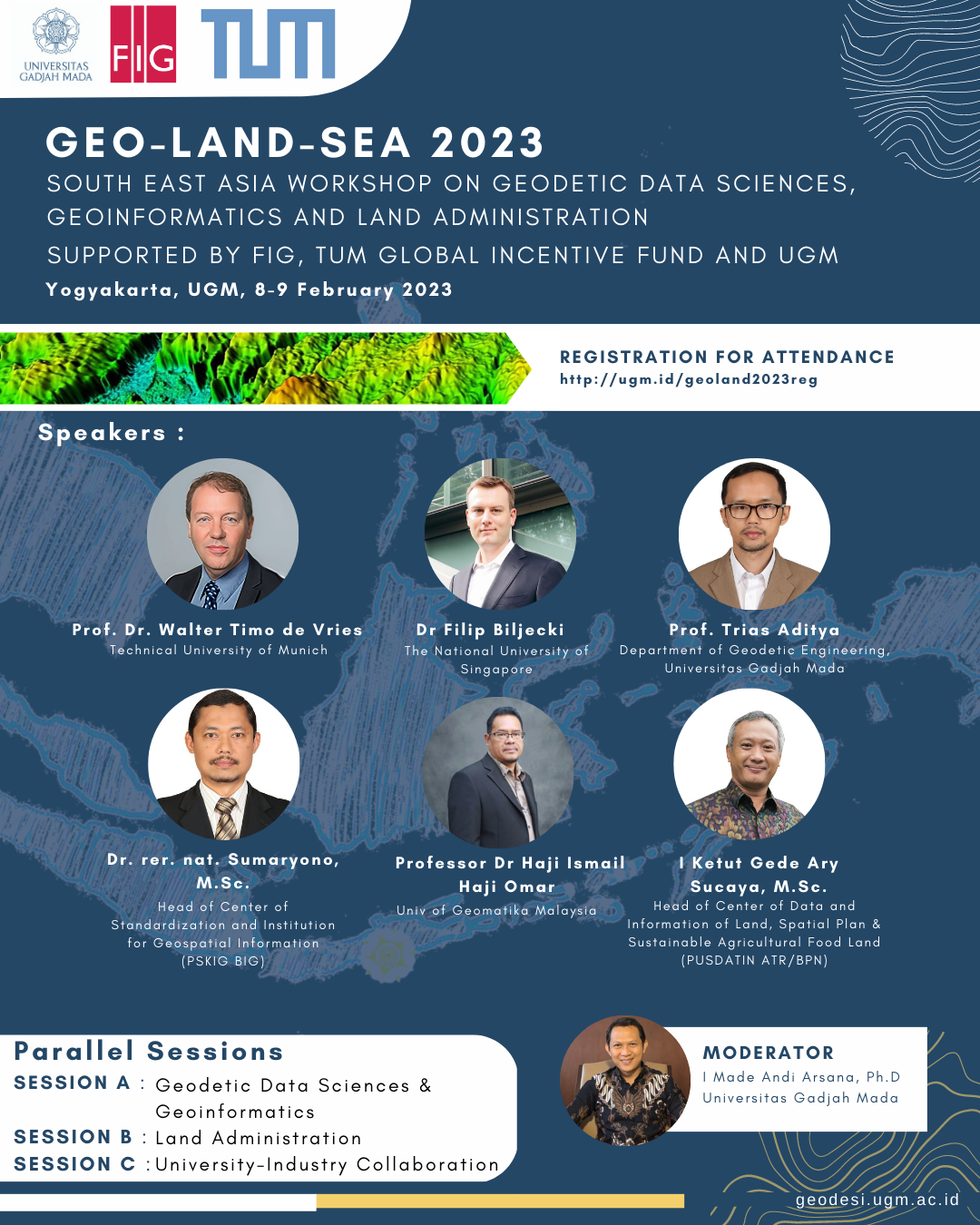
The Proceeding of GEO-LAND-SEA 2023 is available here
South East Asia Workshop on Geodetic Data Sciences, Geoinformatics and Land Administration
8-9 February 2023
Universitas Gadjah Mada (UGM), Yogyakarta, Indonesia
Supported by FIG, TUM Global Incentive Fund and UGM
Days
Hours
Minutes
Seconds
In the context of Indonesian programs to increase the speed and up-to-date-ness of its land administration and improving its effectiveness in land management and one map policy, the workshop will address how advances in geodetic engineering, geoinformation sciences, land information management and land administration could develop new tools, methods and solutions. The workshop aims at bringing together academics, professionals and government officials who are active in this specific domain and who are working on these new solutions. During two days there will be several national and international speakers and discussants to foster knowledge exchange and development.
The (hybrid – both in presence and online) workshop seeks topics to discuss and present which relate to technical and institutional solutions for systematic land registration, boundary surveys, land information archiving, digitalisation of registration processes, e-conveyancing, big geospatial data management, issues in one map policy and land data interoperability, use of remote sensing, image processing machine learning and artificial intelligence for land management, smart land administration and smart land management, geospatial data infrastructure and knowledge management, use of digital twins, augmented/virtual/mix reality (AR/VR) technology, and blockchain. The presentations and supporting papers will be included in a proceedings.
The best papers will be submitted to a peer-reviewed journal.
Submission Topics
Smart land administration and Smart land management
PTSL (Complete Systematic Land Registration) Issues & Solutions
Fit for Purpose Land Administration (FFP-LA)
Digitalisation of land administration
Digital twins (data models, behavioural models) for land administration
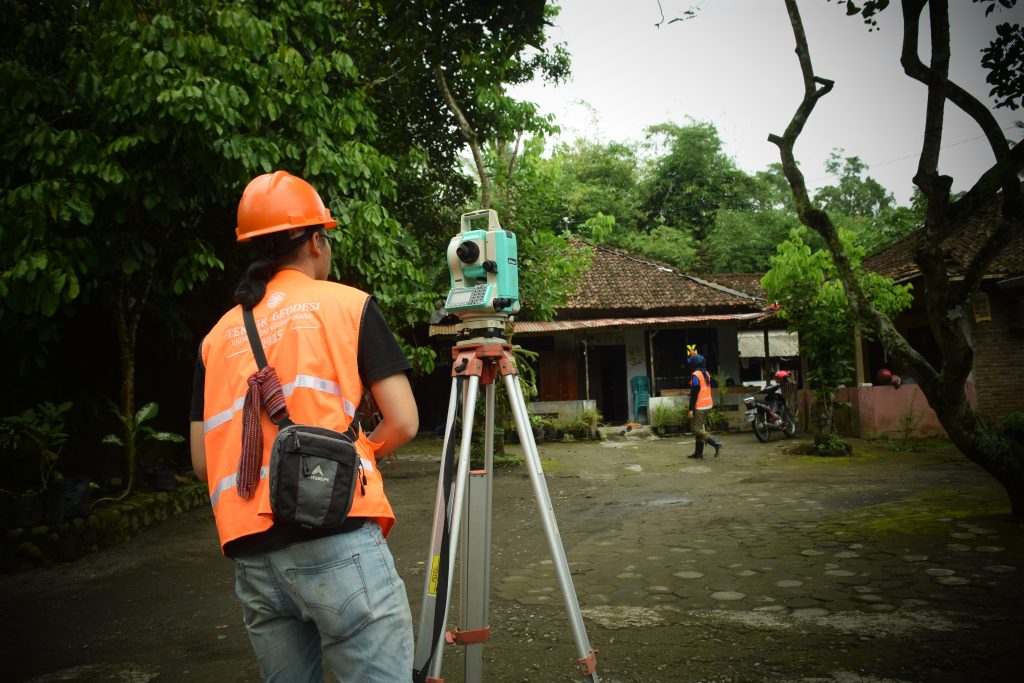
Boundary surveys, Geodetic survey techniques
Use of LIDAR for land administration and land management
3D, 4D, 5D cadastre
Blockchain for land registration
Graph technologies for land administration
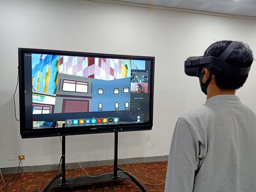
Use of augmented/virtual/mixed reality (AR/VR) technology for land management
Machine learning for automated land & built-environment data capture and analysis
Use of artificial intelligence for land management processes
Remote sensing for land administration
Use of Big data and linked data for land management
Use of CityGML and other open standards
Important Dates
Submit abstract paper / presentation / topic by 15 January 2023