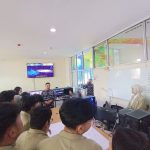
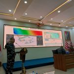
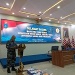
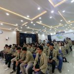
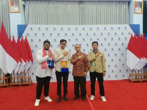
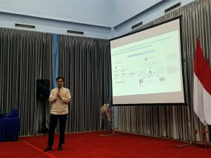
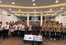
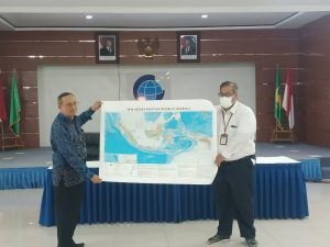
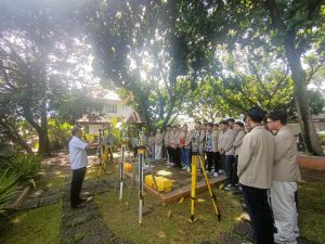
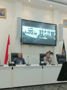
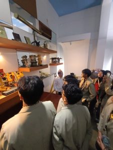
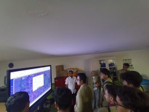
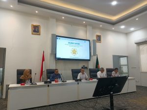
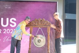
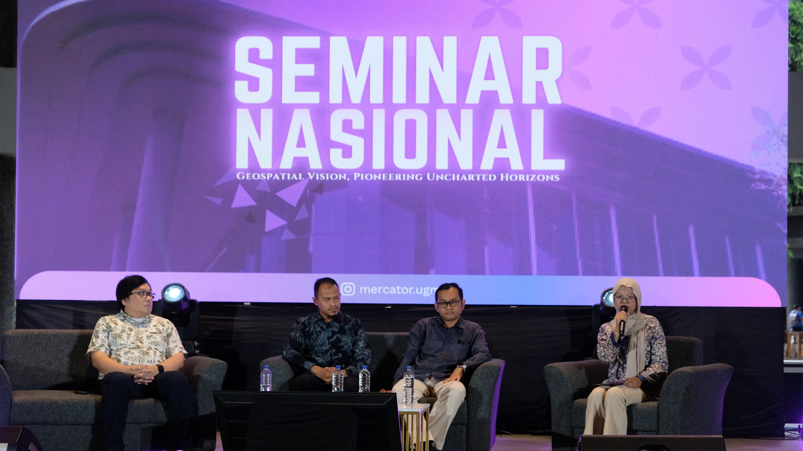
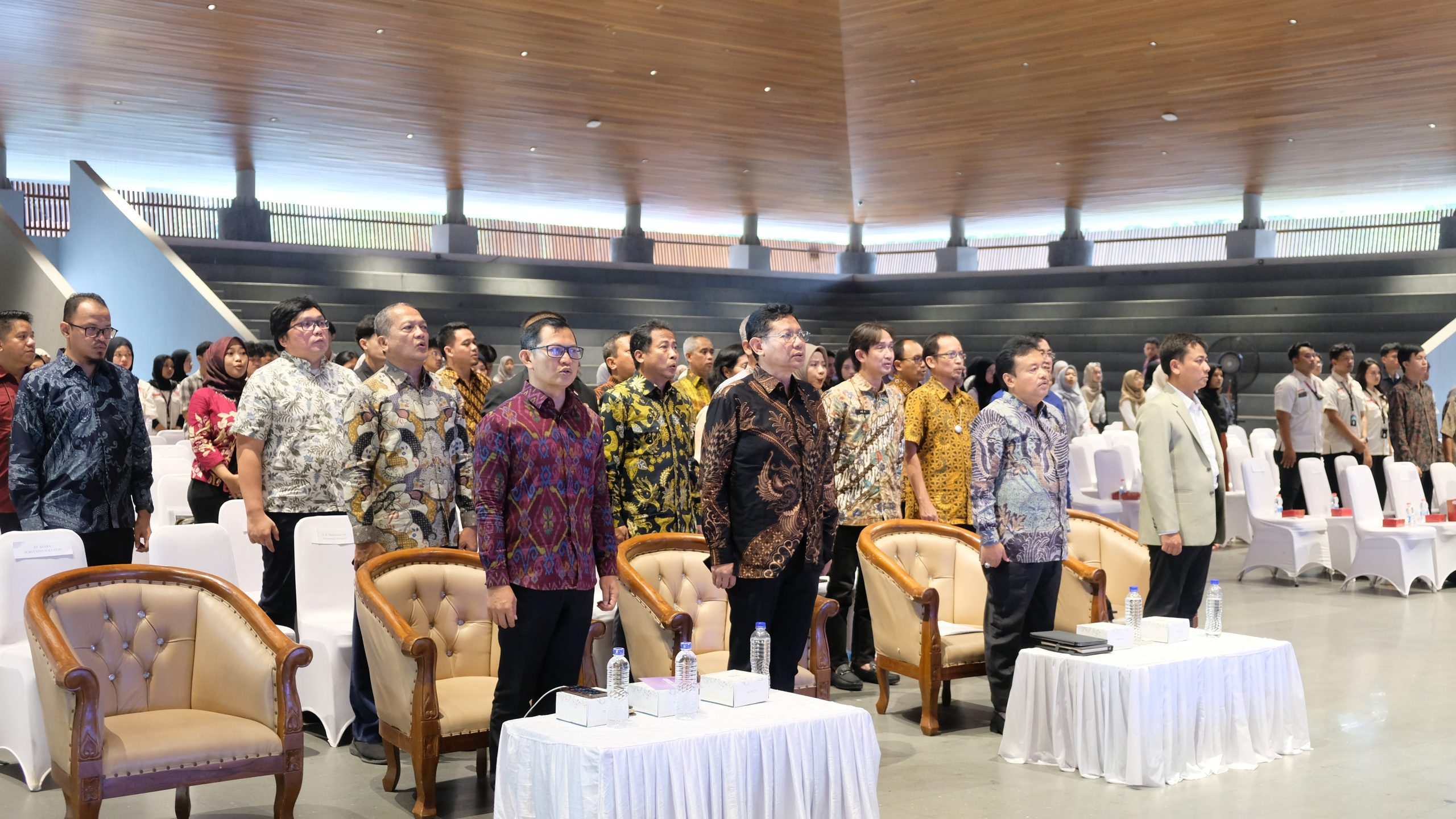
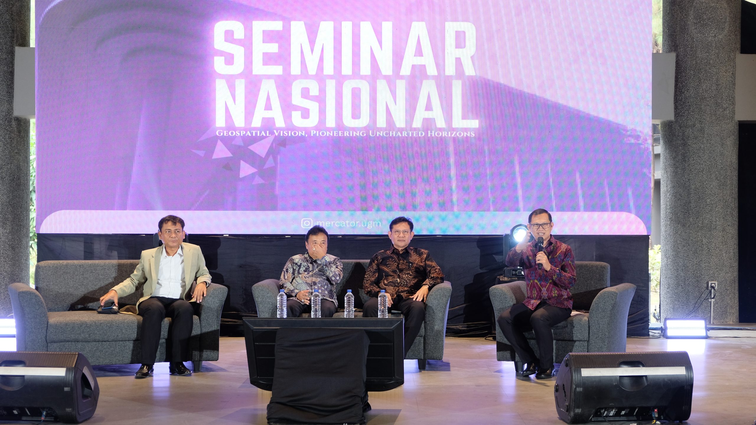
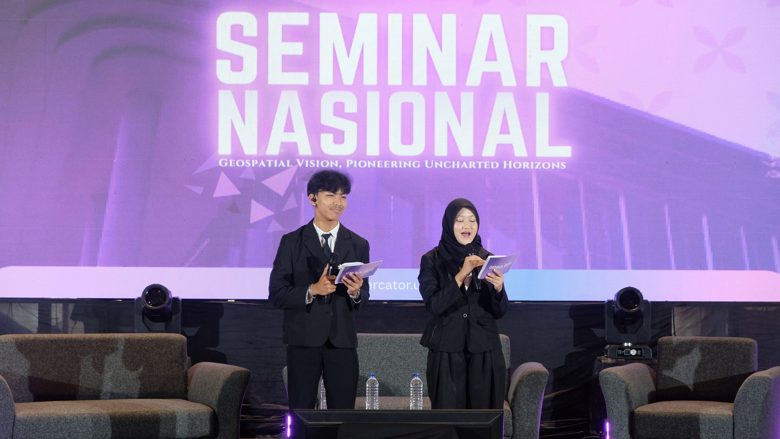
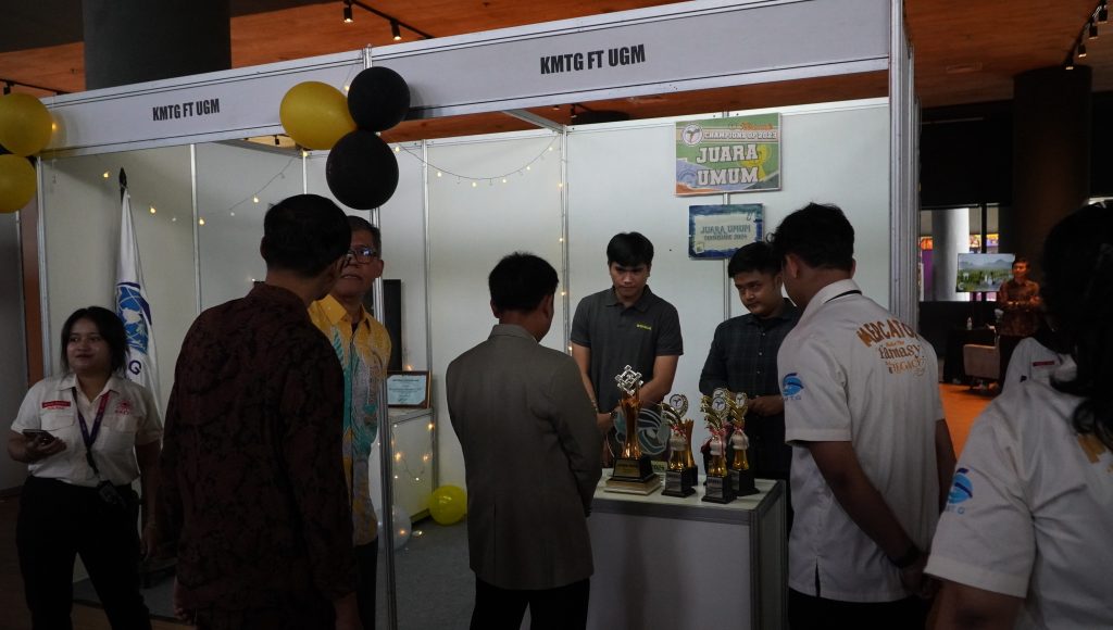
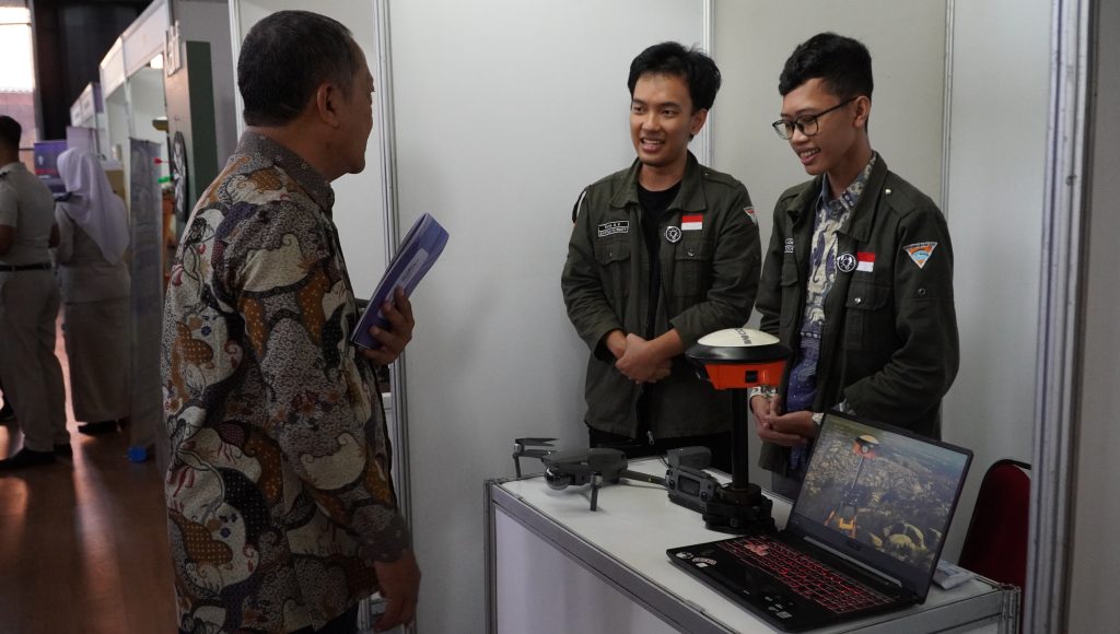
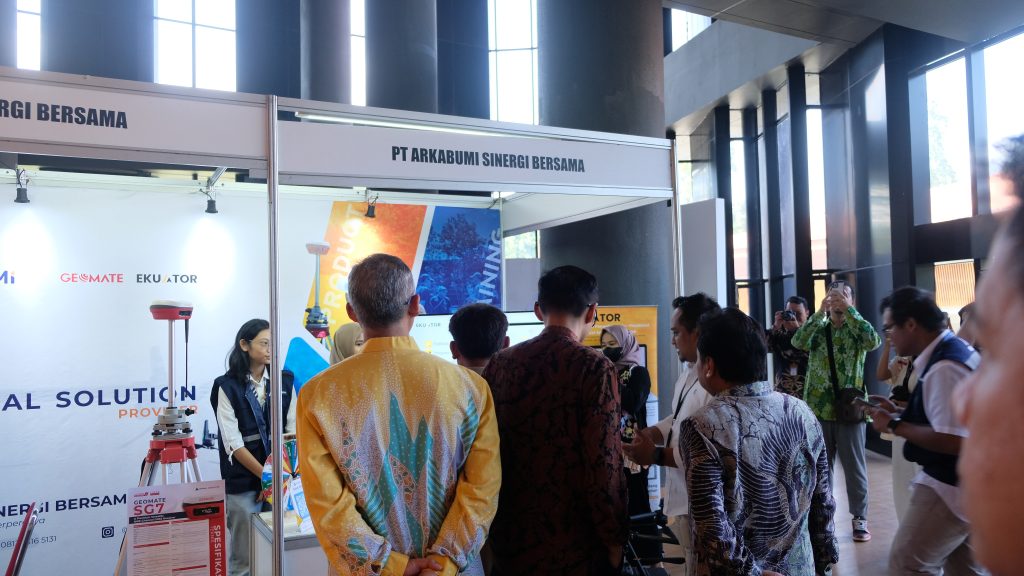
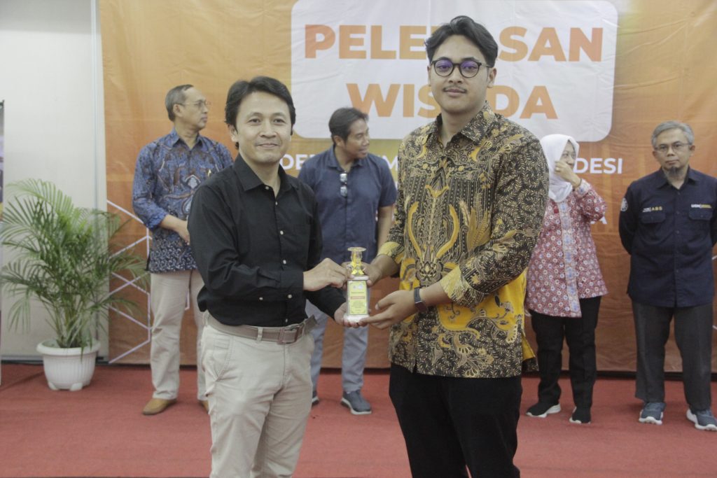
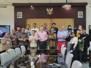
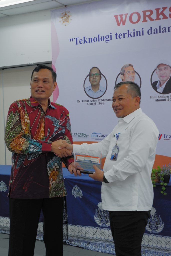
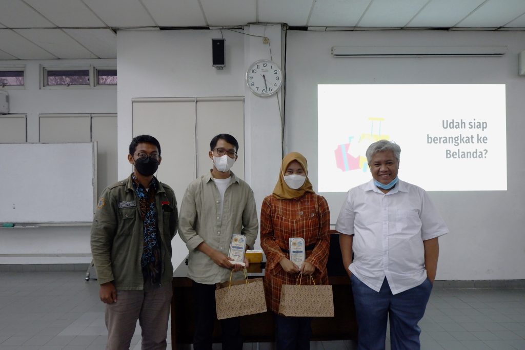
Department of Geodetic Engineering, in collaboration with the Chair of Land Management, Technical University of Munich (TUM), hosted a South East Asia Workshop on Geodetic Data Sciences, Geoinformatics, and Land Administration from 8 to the 9th of February 2023. The event was held in The Department of Geodetic Engineering Campus in a hybrid mode, with most speakers physically attending. The morning session of the first day featured Dr.rer.nat. Sumaryono (Center for Geospatial Information Standardization and Institution, BIG), Ketut Ary Sucaya, M.Sc. (Data Center Ministry of Agrarian and Spatial Affair/National Land Agency), Prof. Walter de Vries (Department of Aerospace and Geodesy, TUM), Dr. Filip Biljecki (Urban Analytics Lab, National University of Singapore), Prof. Hj. Ismail Omar (Universiti Geomatika Malaysia) and Prof. Trias Aditya (Department of Geodetic Engineering, UGM). The session was moderated by Dr. I Made Andi Arsana from UGM. The topics discussed in the session ranged from challenges and roles for sciences and practices related to geodesy/geodetic engineering and land administration for urban dynamics, services and digitalization of land administration, mixed reality approaches for cadastral survey, land management, land consolidation, and required surveyor/geodetic learning outcomes to embrace mutual recognition agreement in South East Asia level for surveyor profession. The event was opened officially by the Vice Dean for Cooperation, Research, and Community Services of the faculty of Engineering, Dr. Ali Awaludin.
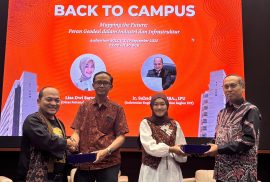
The afternoon session was divided into three parallel sessions—two parallel presentation sessions from workshop participants and one industry-university collaboration session. The parallel sessions discussed both paper presentations related to two themes: geodetic data sciences and land administration from national universities with geomatics/geodesy/land administration study programs, including presenters from UGM, ITB, ITN, and others. The third session was followed by representative academicians from ITB (Dr. Poerbandono, Dr. Riqqi, Dr. Wiwin), UGM, UPN (Ir. Ediyanto), and respected professionals from the Association of Indonesian Surveyors (ISI), the Geospatial Information Agency (BIG), and representatives industries from Adaro Land and Petronas. The discussion focused on challenges for embracing ASEAN’s MRA on the surveyor profession and plans to strengthen both industrial capacity and academic competencies in the field of survey and mapping.
The second day continued with identifying strategies and solutions to establish the Association of Study Programs in Surveying/Geomatics/Geodetic Engineering. The second day was attended by more representatives from Indonesian Department/Study Programs with Surveying/Geomatics/Geodetic Engineering study programs. The Head of the Department of Geomatics Engineering from ITS (Dr. Danar Guruh) and the head of the Department of Geodetic Engineering from UNDIP (Dr. Yudho) attended the session. The session recommended the establishment of an Association of Study Programs in Geomatic/Geodetic/Surveying Engineering in Indonesia. The session also discussed the alternatives for establishing Surveyor Profession School in collaboration with Professional Association and the Regulator. The session also agreed to open up more possibilities to develop a network of research in Geodetic/Geomatics Engineering for aiming scientific publication increases involving geomatics/geodetic engineering academicians in Indonesia with TUM.
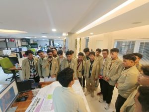
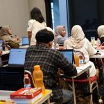
After the workshop on the 10th of February, Dr. Filip Biljecki shared his research experiences to undergraduates and graduates student at Geodetic/Geomatics Engineering in UGM. The students were attending the lecture with high enthuasism about exploring the research areas and topics Dr. Filip presented. Meanwhile, Prof. Walter met with prospective students and shared information about pursuing a doctoral degree at the Technical University of Munich.