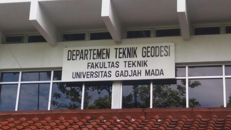
Department of Geodetic Engineering – Faculty of Engineering UGM

Geodetic Engineering Undergraduate Study Program
Faculty of Eengineering Universitas Gadjah Mada

Identity of Geodetic Engineering Undergraduate Study Program
|
No |
Data Type |
Description |
|
1 |
University |
Universitas Gadjah Mada |
|
2 |
Faculty |
Faculty of Engineering |
|
3 |
Department Name |
Geodetic Engineering Department |
|
4 |
Program of Study |
Bachelor degree in Geodetic Engineering |
|
5 |
Bachelor Degree |
S.T. (Sarjana Teknik) |
|
6 |
Years of Operation |
1959 - Now |
|
7 |
total number of alumni |
2861 (Mei 2023) |
|
8 |
Number of credits |
144 Credits |
|
9 |
Number of Semesters |
8 Semesters |
|
10 |
Final Project |
Skripsi |
|
11 |
Certificate |
BAN PT - Unggul (9 June 2020 until 30 September 2024) |
|
AUN-QA (Asean University Networks – Quality Assurance) with Good Predicate |
||
|
IABEE (Indonesian Accreditation Board for Engineering Education) with Good Predicate |
||
|
|
||
|
12 |
Competency Level in the National Qualification Standard National |
Level 6 |
|
14 |
Social Media |
Website, social-media, brochure, booklet etc. |
|
15 |
Credit Specifications |
At least 132 compulsory credits (69 courses) and 12 elective credits (offered from a total of 57 credits distributed in 31 elective courses) must be achieved by students elective courses) must be achieved by students to graduate from the study program |
|
16 |
Learning Methods |
Student Centered Learning (SCL) |
Vision and Mission of Geodetic Engineering Undergraduate Study Program
The vision of the Geodetic Engineering Undergraduate Study Program FT-UGM is “To become a world-class Geodetic Engineering Undergraduate Study Program that is superior and innovative, dedicated to the interests of the nation and humanity that is imbued with the nation’s cultural values based on Pancasila as the state ideology”.
To achieve the vision above, the mission of the Geodetic Engineering Undergraduate Program, Faculty of Engineering, Universitas Gadjah Mada is:
- Organizing an efficient and effective Geodetic Engineering Undergraduate Study Program education in accordance with national and international standards of engineering education, to support the development of the nation and society.
Utilizing the results of scientific research activities in order to develop the application of science and engineering for humanity.
Play an active role in community service to support the achievement of Sustainable Development Goals (SDGs) at the local, national and international levels. - With the vision and mission mentioned above, the objectives of the 2021 Curriculum or known as PEO (Program Educational Objectives) are to produce Geodetic Engineering undergraduate graduates who are expected to have the following competencies:

Graduate Profile and Educational Objectives of the Study Program
Analysis of the results of a tracer study of alumni who have worked in the community / industry for 4 to 5 years and a graduate user survey, shows that most Geodetic Engineering graduates have a career as:
- professional practitioners in the field of geodesy and geomatics,
- academics and continue their studies, and
- entrepreneurs or managers both in the field of geodesy and geomatics and other fields of work.
Furthermore, the results of the tracer study and survey were analyzed and integrated with the vision and mission of UGM which has the keywords superior, international, based on national culture, and Pancasila. Therefore, the profile of graduates or Educational Objectives of the Study Program is that after working in society / industry for 4 to 5 years, graduates of Geodesy and Geomatics Engineering will have the ability:
- Apply the basic principles of mathematics, science and engineering in formulating and solving engineering problems, and use their knowledge to excel in their careers in various practical fields of Geodesy and Geomatics Engineering or other relevant fields.
- Build and develop knowledge in Geodesy and Geomatics Engineering, as well as other relevant fields through advanced professional certification and or further education in engineering or science.
Ability to work in a multidisciplinary and diverse professional environment, and demonstrate leadership and professional integrity. - To ensure the realization of the graduate profile (PEO) in the period of 4 to 5 years after graduation, the study program has formulated SLOs.
PROGRAM EDUCATIONAL OBJECTIVES (PEO)
The Department’s PEO is based on the department’s vision and mission. The PEO aims to be three to five years after graduating with this degree. With the vision and mission mentioned above, the goal of Curriculum 2021 or known as PEO (Program Educational Objectives) is to produce Geodetic Engineering undergraduate graduates who are expected to have the following competencies:
- Apply the basic principles of mathematics, science and engineering in formulating and solving engineering problems, and use their knowledge to excel in their careers in various practical fields of Geodetic Engineering and Geomatics or other relevant fields.
- Build and develop knowledge in Geodesy and Geomatics Engineering, as well as other relevant fields through advanced professional certification and or further education in engineering or science.
- Ability to work in a multidisciplinary and diverse professional environment, and demonstrate leadership and professional integrity.
STUDENT OUTCOMES (SO)
Students outcomes (SO) of the Geodetic Engineering Study Program are as follows:
a. Able to apply mathematical knowledge, natural sciences, information technology, and engineering in the field of Geodesy and Geomatics Engineering.
b. Able to design and carry out measurement practices / data collection, analysis and interpretation of geospatial data.
c. Able to design systems, components, or processes to meet the needs of the geospatial industry based on logical constraints, including economic, environmental, social, policy, ethical, health and safety, manufacturability, and sustainability constraints.
d. Able to work together in multi-disciplinary and multi-cultural groups.
e. Able to identify, formulate and solve complex problems of Geodesy and Geomatics Engineering.
f. Have an understanding of professional responsibility and ethics based on the values of Pancasila.
g. Able to communicate effectively in Indonesian and English.
h. Have a broad understanding of the impact of engineering solutions in a global, economic, environmental, and social context.
i. Know the need, have the ability to be a lifelong learner, which supports success in getting professional jobs, obtaining professional licenses, and/or continuing academic level studies.
j. Have knowledge of contemporary issues.
k. Able to use modern techniques, methods, and equipment required in engineering practice, especially having advanced knowledge in one of the fields of expertise in Geodesy and Geomatics Engineering, namely: Surveying and Mapping, Photogrammetry and Remote Sensing, Hydrographic Survey, Geometric Geodesy and Physical Geodesy, and Geoinformatics and Geospatial Information Infrastructure.
